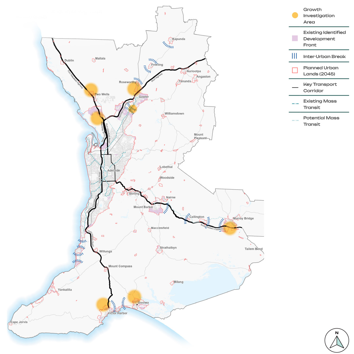
Greenfield, satellite city and township growth
The Commission is proposing four areas outside, or on the fringe of, metropolitan Adelaide to investigate for future housing and employment growth. These investigation areas extend from Adelaide's four major transport spines to leverage infrastructure investment. The Discussion Paper further details why these areas have been identified and the challenges associated with potential future growth.
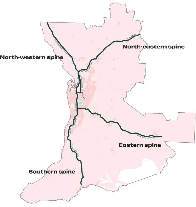
North western spine
The north-western spine begins at the southern end of the Port Wakefield Highway stretching northward past the Riverlea development to Two Wells, and then further north along the highway. Further development would build on and leverage the current development activity that is already planned for these two areas.
The investigation areas do not extend as far as the towns of Dublin and Mallala. These towns will keep their own separate identity but may expand locally to support township function and viability.
North-eastern spine
This investigation area circles Roseworthy, with the Horrocks Highway as the eastern boundary. The towns of Freeling and Kapunda will be investigated for modest township growth within existing infrastructure capacity. Except for those areas currently identified for urban development, most of this area is currently zoned for rural primary production, and rural living lifestyle allotments.
Kudla provides an opportunity for a master planned extension to the Gawler township that takes advantage of recent government investments in electrified rail.
Eastern spine
The South Eastern Freeway provides the central axis for this spine investigation area. The area around Callington will be investigated for future employment land, whilst options to expand Murray Bridge will be considered for residential and employment land. No additional growth beyond what is already planned will be investigated for Mount Barker.
Southern spine
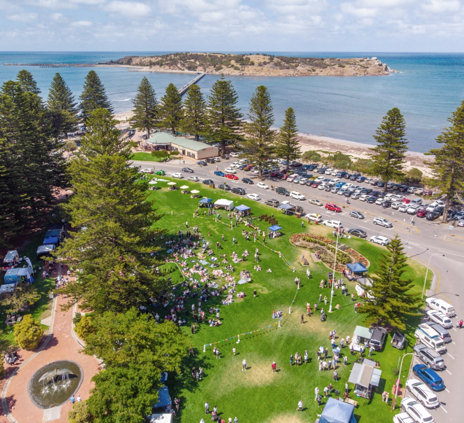
The southern spine growth investigation areas focuses on the coastal towns of Victor Harbor and Goolwa. It will be particularly important to maintain the inter-urban breaks between Goolwa and Victor Harbor to maintain subregional identity, including of that of Middleton and Port Elliot.

For discussion
How can greenfield development achieve an urban form that is consistent with the principles of Living Locally?
What is the ideal urban form to support the growth of satellite cities like Murray Bridge and Victor Harbor?
What do you see as the benefits and potential drawbacks of greenfield development?
Proposed areas of investigation
Greenfield and satellite city growth